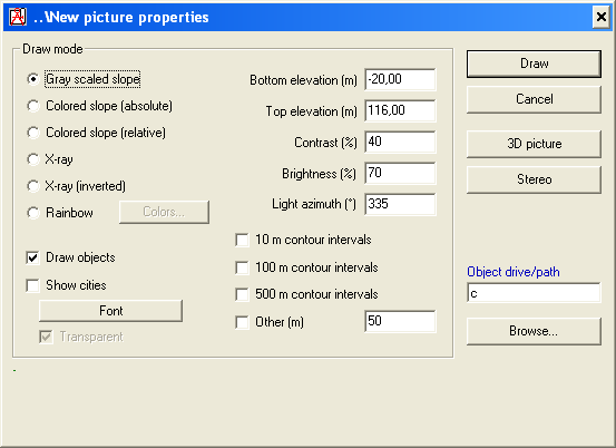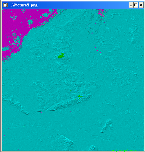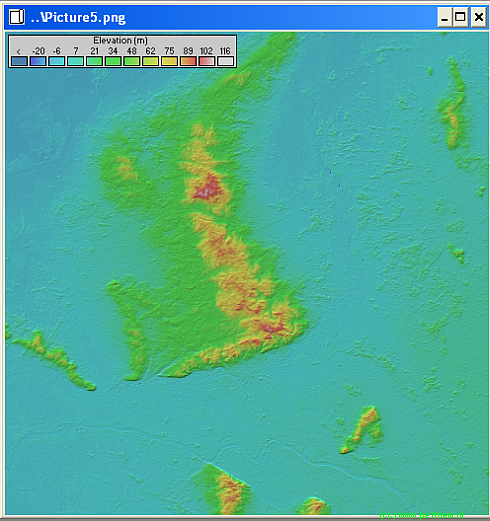
Opens the Picture properties form in order to create a new map picture.
Enables to choose how to draw the new map window

The color slope is referenced to a absolute height.
The color slope is NOT referenced to a absolute height.


The colors of the rainbow are set here.
![]() More information about colors in 'color setting'
More information about colors in 'color setting'
The 3D picture is an option available in the Picture properties form. It uses a 2D-map picture as a source for pixel color, each pixel of the 2D picture corresponding to a polygon in the 3D picture. The polygons are filling the space between successive pixels, after a geometrical transformation. The angle of view can be set with the scroll bars in the 3D picture properties form.
![]() 3D picture can be used to show the networks as well: Networks elevation can be modified without having to redraw the picture by using the Show nets command.
3D picture can be used to show the networks as well: Networks elevation can be modified without having to redraw the picture by using the Show nets command.

A example of a 3D drawing.

The stereoscopic picture is also an option available in the Picture properties form. It uses a 2D-map picture as a source for pixel color. It covers the same area as the 2D picture, except that it uses color separation (Red and blue glasses required) to gives left and right eyes different point of view, which gives the impression that the picture is popping out of the screen. A special cursor can be moved with the keyboard arrows (horizontal coordinates) and the + or - keys (elevation).
The stereoscopic observation is similar to the observation view, except that it uses color separation (Red and blue glasses required) to gives left and right eyes different point of view, which gives the impression that the picture is popping out of the screen. Stereoscopic effect can be exaggerated by increasing distance between eyes in Options.
A example of a 3D stereoscopic image: