The form that opens depends on the information in the active map window.
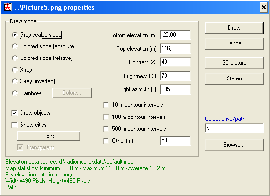
When the active map window holds terrain height information the window will display terrain heigth settings. See 'Picture properties - Terrain height'
When the active map window holds a image, the window will present gecoding settings for that image. See 'Picture properties - Custom image'
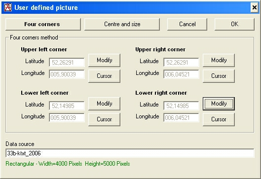
The geocoding information for the picture is stored with the custom picture in a file named equal to the picture. the mapfile has the extention .dat.
Example:
The format of the mapfile.dat is described in 'mapfile.dat format'