|
Radio Mobile - RF propagation simulation software |
|
|
|
|
|
OpenStreetMap is a free editable map of the world. It is made by people like you. OpenStreetMap allows you to view, edit and use geographical data in a collaborative way from anywhere on Earth.
OpenStreetMap creates and provides free geographic data such as street maps to anyone who wants them. The project was started because most maps you think of as free actually have legal or technical restrictions on their use, holding back people from using them in creative, productive, or unexpected ways.
Technical background
Open streetmap provides images of the area that is covered by the current map window.
The detail of each image depends on the zoom level that is selected when accessing Open street map. The zoom level is set each time a picture is merged in a map window.
The images downloaded from Open street map are at a fixed size of 256 x 256 pixels and in PNG format.
The detail that is displayed on each image depends on the zoom level. In the following table the different zoom levels and their detail are displayed. Zoom level 1 is at a global level and zoom level 17 is 'foot path' level.
In Radio Mobile where raster maps such as Open street map are used for orienteering purposes zoom level 5 to 14 are use able.
| Zoom = 1 |
Zoom = 2
|
|
Zoom = 3

|
Zoom = 4
|
|
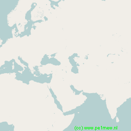
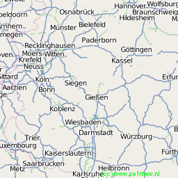
Zoom = 5
|
Zoom = 6
|
|
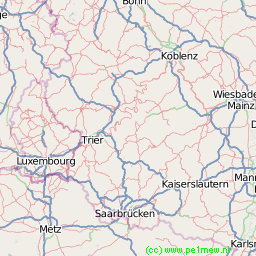
Zoom = 7
|
Zoom = 8

|
|
Zoom = 9
|
Zoom = 10
|
|
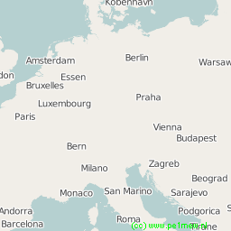
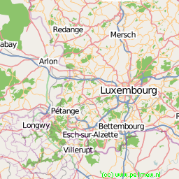
Zoom = 11
|
Zoom = 12
|
|
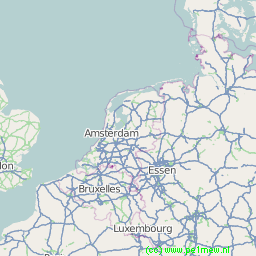
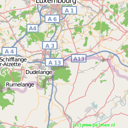
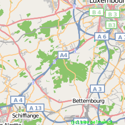
Zoom = 14

|
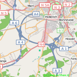
Zoom = 15 |
| Zoom = 16 |
Zoom = 17 |
|
|
| |
|
|
cmsimple-styles.com template modified by PE1MEW |
