|
Radio Mobile - RF propagation simulation software |
|
|
|
|
|
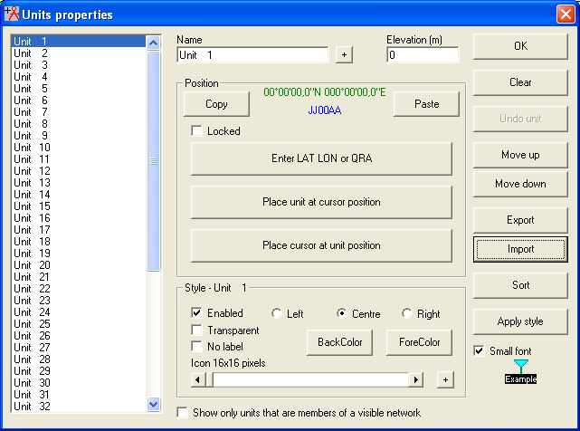
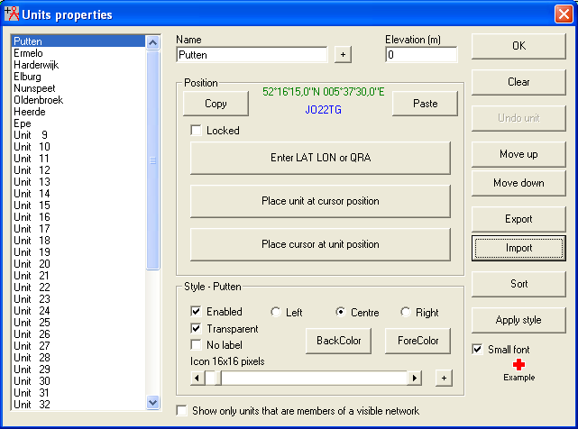
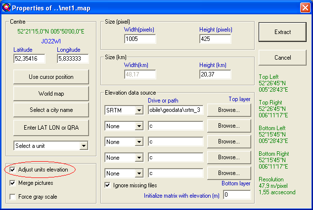
In this how-to a number of units from which the local ground height is not known the ground height is set.
Step 1
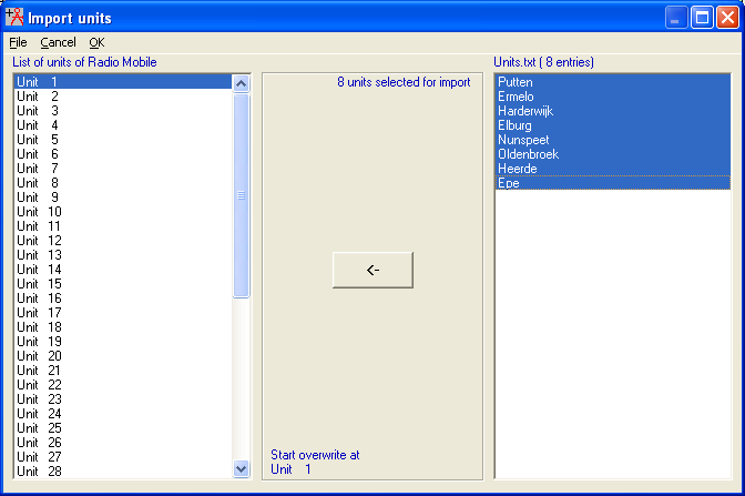
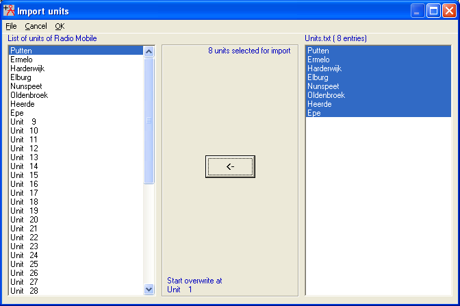
Import all units with the zero value.
Step 2
Open a new map window using 'edit > fit map to units' feature to draw a map that fits all the units in your file.
In the map properties dialog box when it pops up, check the adjust units elevation box. Once the map draws it will populate the proper elevation for each unit.
|
|
| |
|
|
cmsimple-styles.com template modified by PE1MEW |
